Design Tool
A comprehensive wireless link planning tool for point-to-point and point-to-multipoint networks.
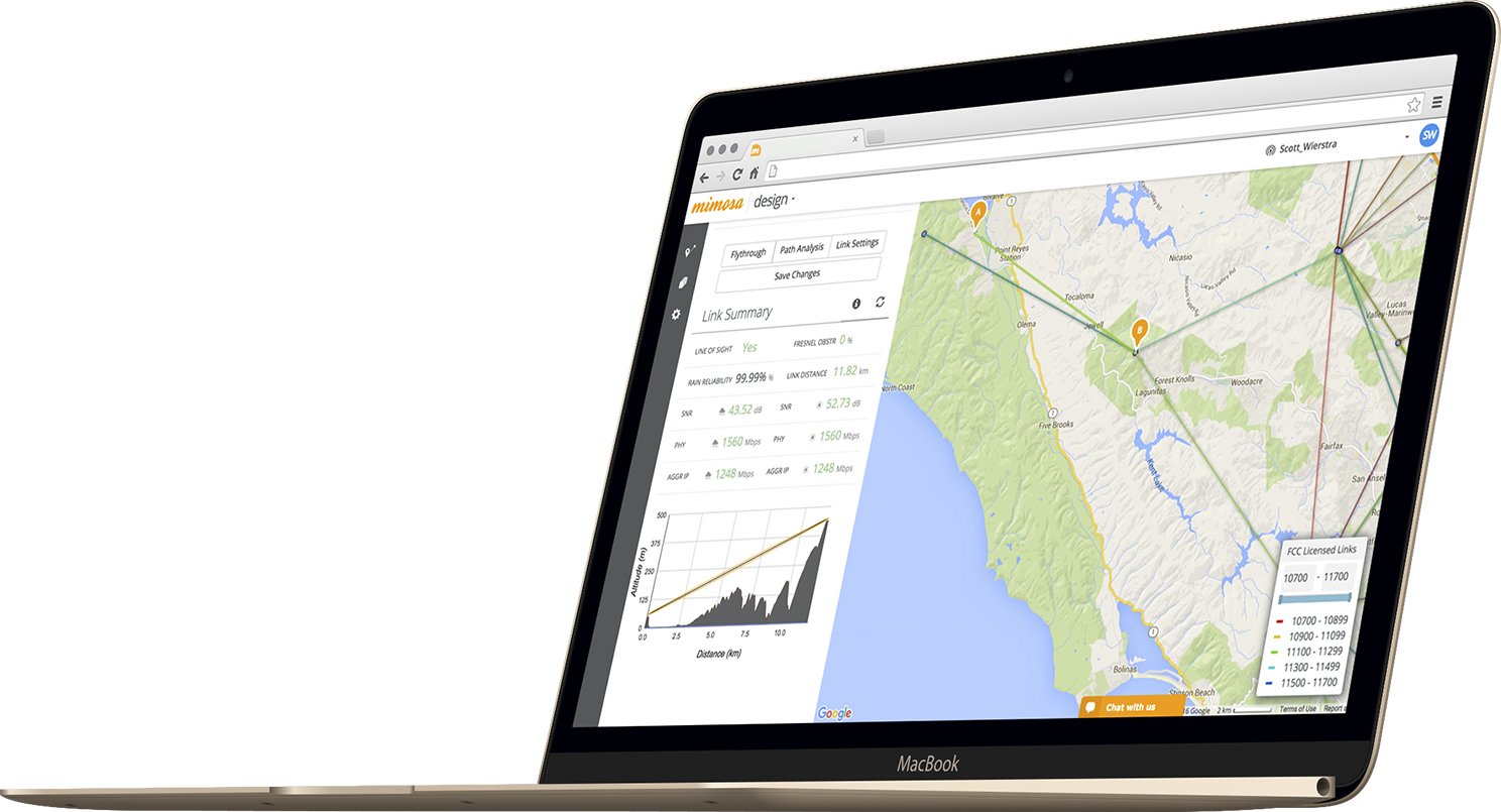
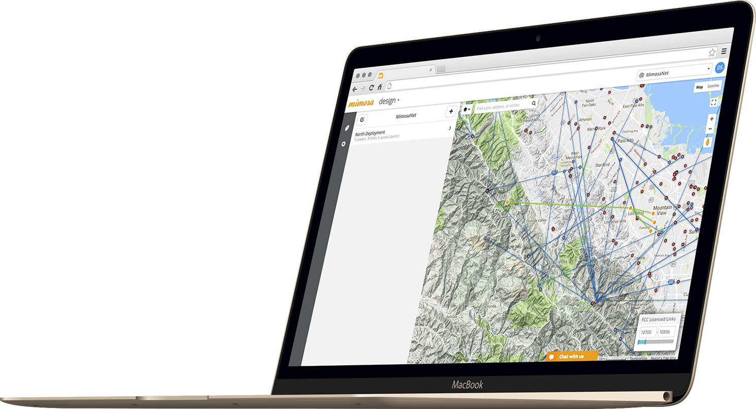
The Mimosa Design Tool provides a quick, easy way to plan and validate integrated point-to-point and point-to-multipoint deployments by simply clicking on a map.
POINT-TO-POINT
The Mimosa Design Tool simplifies the evaluation of PTP connectivity and performance. Placing the ends of a link on a map calculates expected performance and reliability with path discovery aided by visual terrain elevation. Design to install is a breeze with installation reports providing precise mounting and heading guidance.
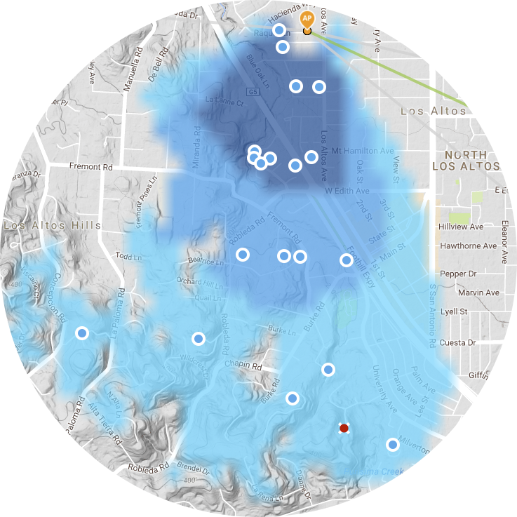
POINT-TO-MULTIPOINT
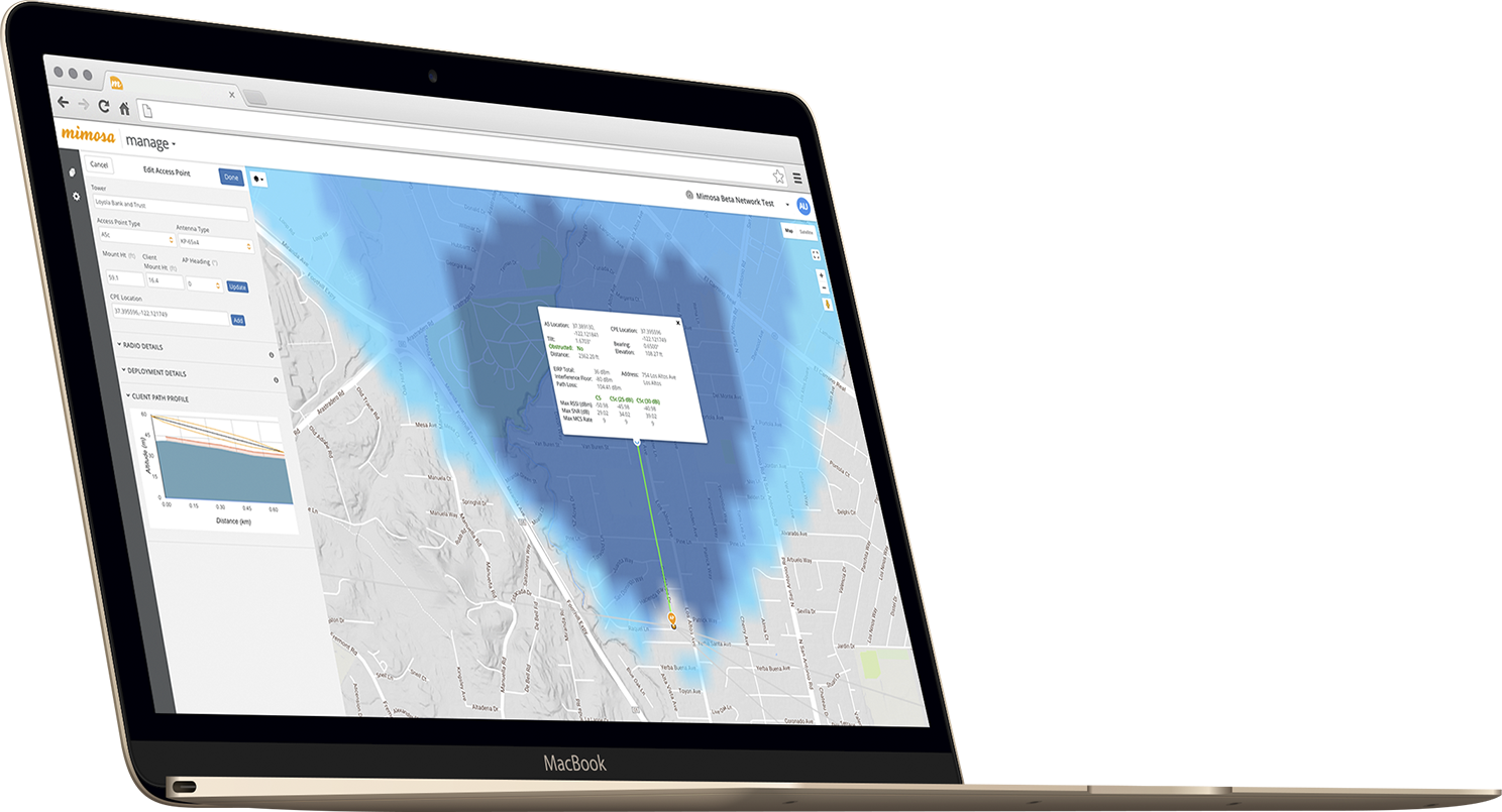
Take the guesswork out of determining service availability and subscriber radio requirements. It is easy to visualize service areas with calculated heatmap-based access point coverage planning for the A5 and A5c. Link performance and reliability are automatically calculated taking into account terrain elevation, weather, tree clutter and interference.
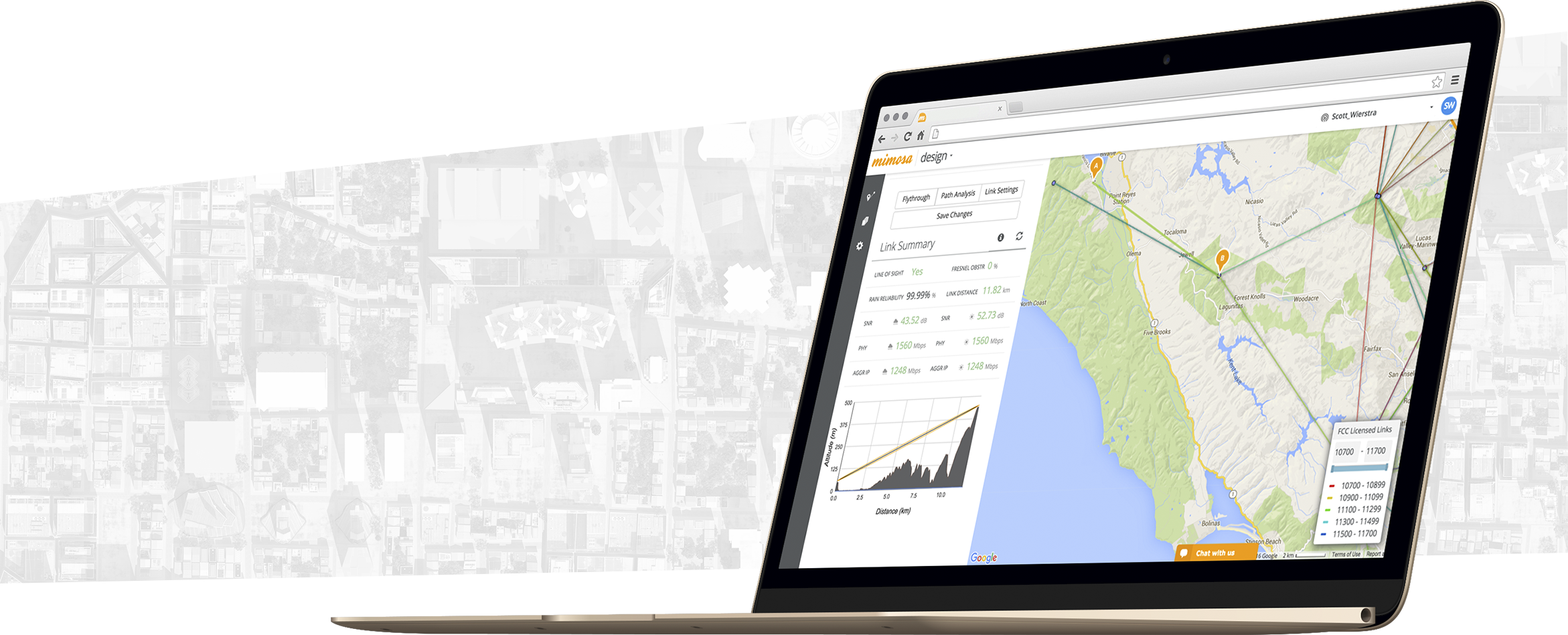
SEE THE FUTURE
New sources of wireless interference appear, extreme weather conditions occur and suddenly your network is not working the way it should. Mimosa helps you plan for both theoretical and actual network performance.
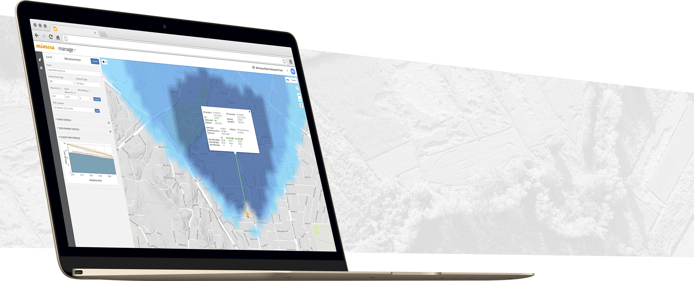
LAY OF THE LAND
The design tool provides line-of-sight diagrams and Fresnel zone plotted alongside elevation data so you can accurately link plan.
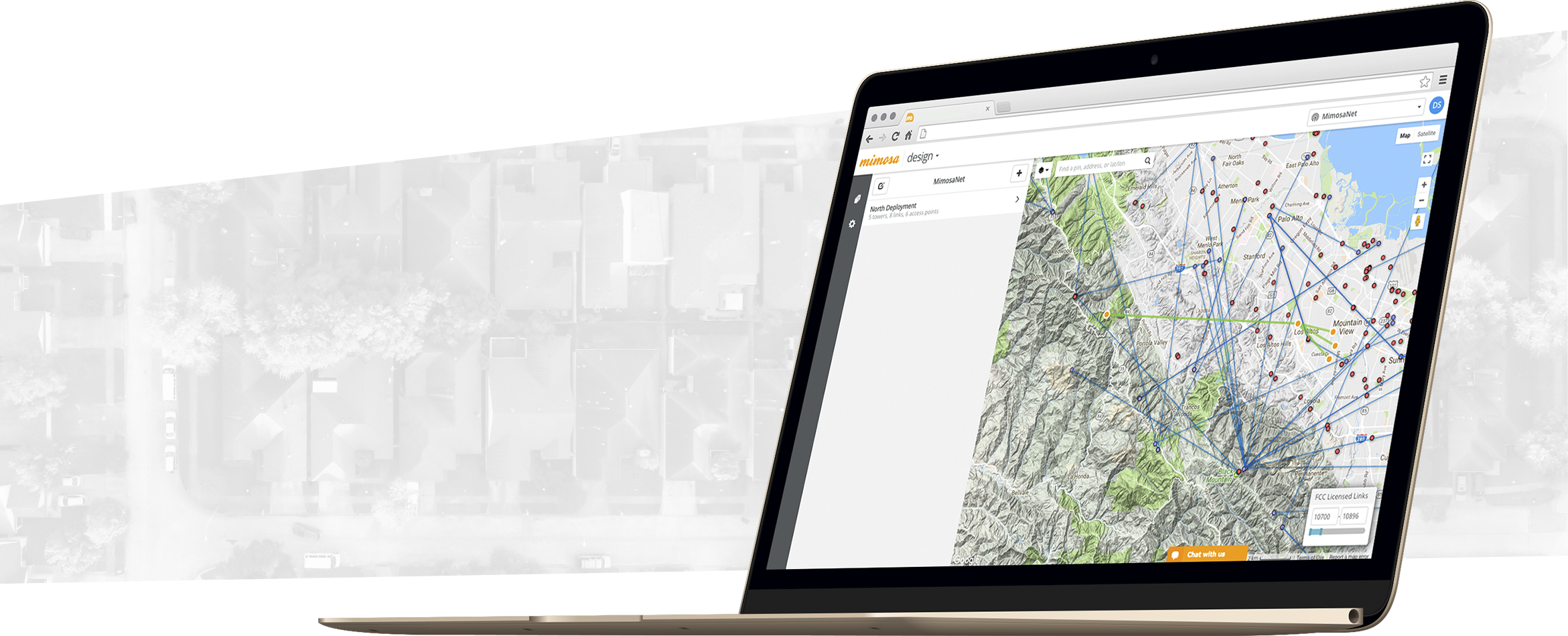
LICENSED LINK ASSISTANT
Mimosa takes the guess work out of planning a licensed link. FCC towers and licensed links are displayed to assist planning. Planned links can be directly sent to a coordinator to begin the process of FCC licensing.

GUIDING FORCE
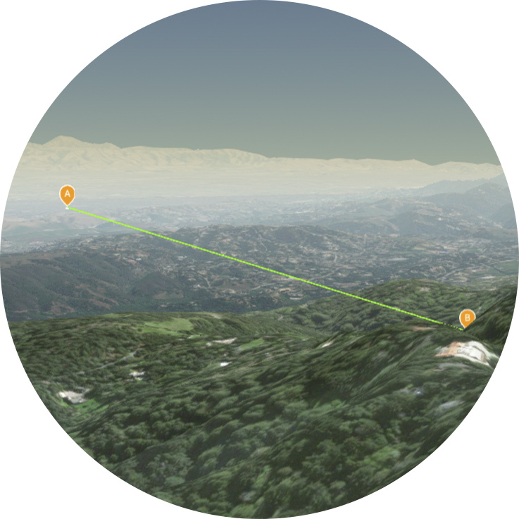
In addition to the updated access point planner, point-to-point planning has also been boosted with a detailed installation report to assist with onsite radio positioning (including heading and tilt guidance). And testing line-of-sight for a proposed backhaul link is now easier than ever, with the link fly-through now updated to work without the installation of the Google Earth application.
